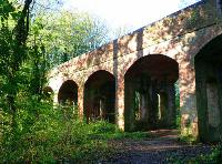
Projects - Cerney Castle
Phase 1: Initial Surveys, October & November 2018
The first step in investigating the castle location was to conduct a geophysical survey using a resistivity meter and magnetometer.
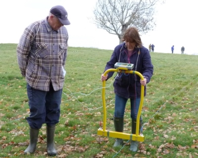
Resistivity meters probe the amount of moisture in the soil, which can be influenced by potential underlying archaeological features.
Magnetometers deploy sensors to measure magnetic fields below the surface to locate evidence of human activity in the underlying soil.
Very small changes can be detected to reveal outlines which may indicate the remains of earlier structures which can then be interpreted offsite using bespoke software.
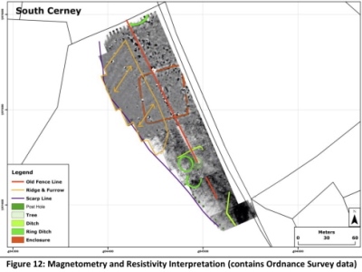
The survey revealed no obvious signs of a castle other than a series of post holes or pits along the ridge of the scarp which conceivably may have been part of a wooden pallisade.
Three, possibly Bronze Age, ring ditches were also shown possibly indicating the site of roundhouses or round barrows.
But there were indications of a rectangular enclosure lying beneath an identifiable ridge and furrow field pattern typical of medieval ploughing systems (see image left).
Further reading
Hill View Farm:
The Magnetometry and Resistivity Geophysical Surveys, October-November 2018.
Download a PDF of this report